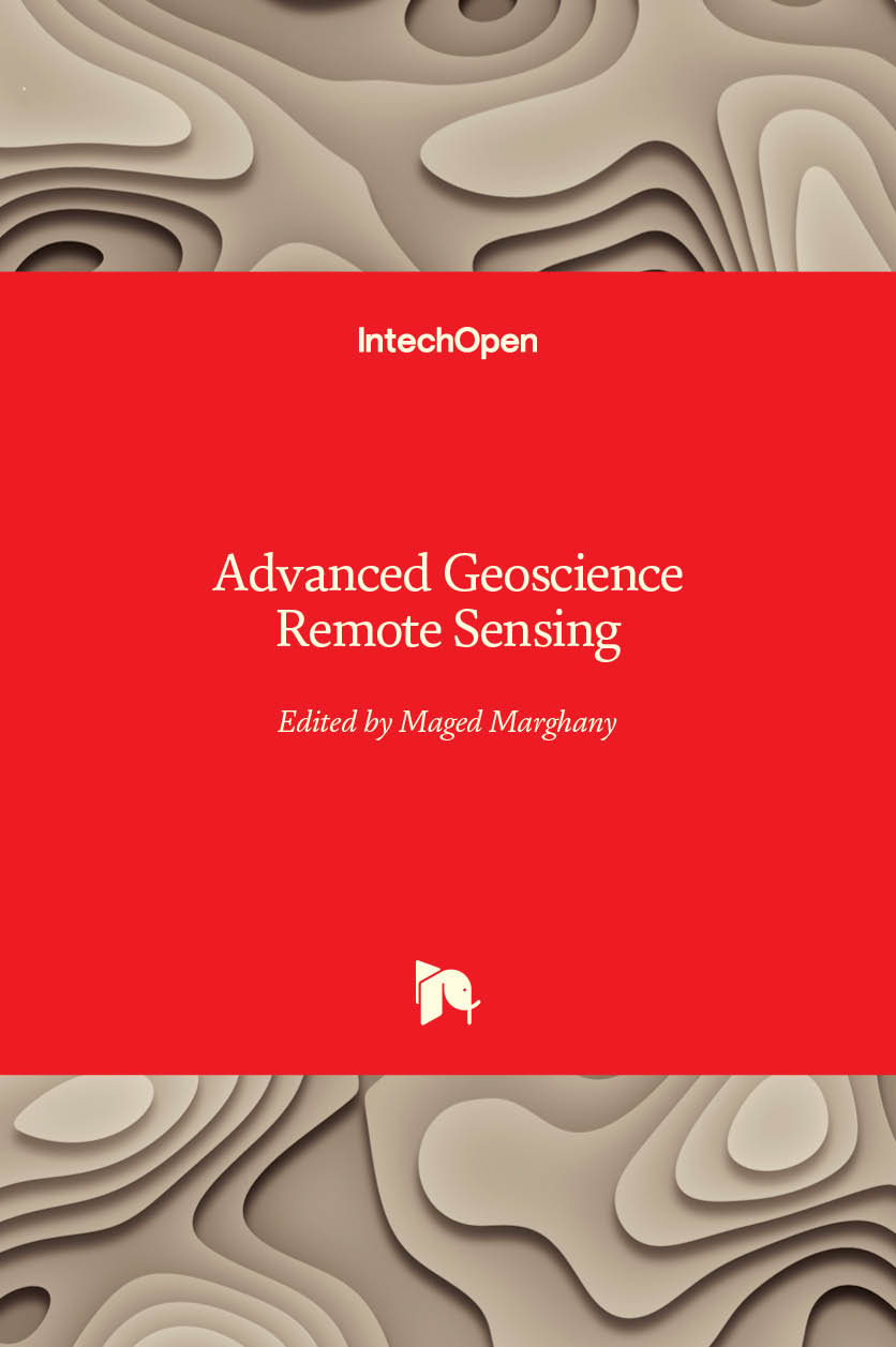
Advanced Geoscience Remote Sensing

Contributor(s)
Marghany, Maged (editor)
Language
EnglishAbstract
Nowadays, advanced remote sensing technology plays tremendous roles to build a quantitative and comprehensive understanding of how the Earth system operates. The advanced remote sensing technology is also used widely to monitor and survey the natural disasters and man-made pollution. Besides, telecommunication is considered as precise advanced remote sensing technology tool. Indeed precise usages of remote sensing and telecommunication without a comprehensive understanding of mathematics and physics. This book has three parts (i) microwave remote sensing applications, (ii) nuclear, geophysics and telecommunication; and (iii) environment remote sensing investigations.
Keywords
Geographical information systems (GIS) & remote sensingDOI
10.5772/57046Webshop link
https://www.intechopen.com/booksISBN
9789535115816, 9789535150497Publisher
IntechOpenPublisher website
https://www.intechopen.com/Publication date and place
2014Imprint
IntechOpenClassification
Geographical information systems, geodata and remote sensing

